

Quick answer
Budapest river cruise port map covers approximately fifteen numbered public piers distributed along a four-kilometer stretch of the Danube, from Batthyány Square on the Buda side to the Pest embankment near the Parliament. Docking areas are free-access public riverfront spaces open around the clock, though the best arrival window runs 09:00–18:00 when pier markers and operator signage are easiest to spot. Most operators berth at Piers 5, 7, 8, 11, and Vigadó Square Pier, but confirmation with your specific cruise company is essential since berth assignments shift with water levels and traffic.
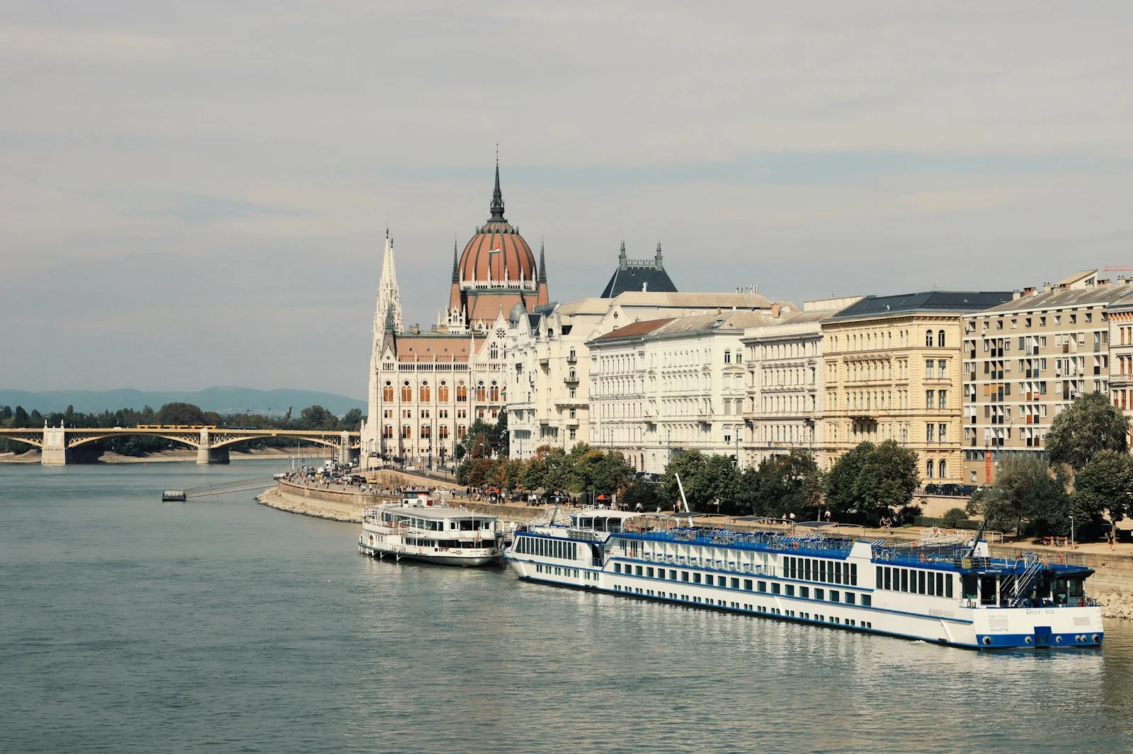
The Danube through central Budapest has no unified cruise terminal—vessels tie up at numbered metal pilings driven into the stone embankment, each marked with a small plate stating the pier number in Hungarian and English. This decentralized system evolved because UNESCO heritage protection limits permanent waterfront construction, so the city maintains minimalist docking infrastructure instead of enclosed terminals. Operators rotate berths based on daily traffic, meaning your confirmation email's pier number is the single reliable source of truth. Pest-side piers concentrate between the Chain Bridge and Margaret Bridge, with Vigadó Square Pier serving as the most recognized landmark thanks to its adjacent concert hall. Pier 5 sits just south of the Chain Bridge near the Intercontinental Hotel, while Pier 8 aligns with the northern end of the Parliament building. Buda-side options include Batthyány Square Pier, directly across from Parliament, and the less-trafficked berths near the Castle District's lower funicular station. Water-level fluctuations shift usable piers—spring snowmelt occasionally closes lower-numbered berths, and late-summer drought pushes traffic to deeper moorings. A budapest river cruise port map becomes critical when operators send berth updates hours before departure. The riverfront promenade lacks consistent street addresses, so GPS coordinates or the pier number itself guide navigation. Tram 2 on the Pest side and Tram 19 on the Buda side run parallel to most docking zones, with stops announced by nearby landmarks rather than pier numbers. Walking between piers takes three to six minutes each, but cobblestone surfaces and pedestrian congestion during peak hours demand buffer time. Most cruise companies display a small flag or printed company name on a temporary A-frame sign at their assigned berth. These signs appear approximately one hour before scheduled departure and vanish once the vessel casts off. Arriving during the recommended 09:00–18:00 window ensures pier markers and signage remain visible under natural light. After sunset, embankment lighting illuminates the promenade but not the individual pier plates, and locating the correct mooring point without daylight reference becomes unnecessarily difficult. Confirming your pier number the morning of departure, rather than relying on booking documents issued weeks prior, prevents misrouted walks along the embankment.
“The Danube through central Budapest has no unified cruise terminal—vessels tie up at numbered metal pilings driven into the stone embankment, each marked with a small plate stating the pier number in Hungarian and English.”
Navigating the Budapest River Cruise Port Map and Pier Locations
Budapest does not have a single central port building; instead, cruise operators utilize a series of numbered piers along the Danube Riverbank. Passengers should identify their specific docking point in advance to determine the most direct route to the riverfront.
Line M2 to Batthyány tér
Line 2/2B/23 to Jászai Mari tér or Kossuth Lajos tér
Line 15 or 115 to Kossuth Lajos tér
Walking from Deák Ferenc tér to the Danube riverbank
Budapest River Cruise Port Map Access Hours
The Danube riverfront areas in Budapest are public spaces, allowing travelers to access and scout pier locations at any time. These locations remain open daily to accommodate passengers arriving for cruises.
| Monday | 00:00–23:59 | |
|---|---|---|
| Tuesday | 00:00–23:59 | |
| Wednesday | 00:00–23:59 | |
| Thursday | 00:00–23:59 | |
| Friday | 00:00–23:59 | |
| Saturday | 00:00–23:59 | |
| Sunday | 00:00–23:59 |
Budapest River Cruise Port Map Entrance and Docking Costs
Access to the Budapest river cruise docking areas along the Danube Riverbank is public and does not require an admission fee. Costs only apply when purchasing service tickets directly from cruise operators for travel.
The entry fee to the port area is 0 HUF, with total costs determined solely by the specific cruise operator and service selected.
Budapest River Cruise Port Map Pre-Departure Checklist
Confirm pier details and prepare navigation tools before boarding to avoid last-minute confusion along the riverbank.
-
Check your operator's pier number — Cruise lines use different docks; verify your departure point in booking confirmation.
-
Download an offline map of the Danube piers — Cell service can be unreliable near the water, and pier markers are not always visible from street level.
-
Arrive 20 minutes before departure — Allows time to locate the correct pier and board without rushing.
-
Save the operator's contact number — Useful if you cannot find the pier or need real-time guidance.
-
Note nearby landmarks for your pier — Bridges and Parliament serve as visual reference points when navigating the riverbank.
-
Wear comfortable walking shoes — Piers are spread along the riverbank; you may need to walk between docking areas.
Check availability
Frequently Asked Questions: Budapest River Cruise Port Map
Everything you need to know about budapest river cruise port map